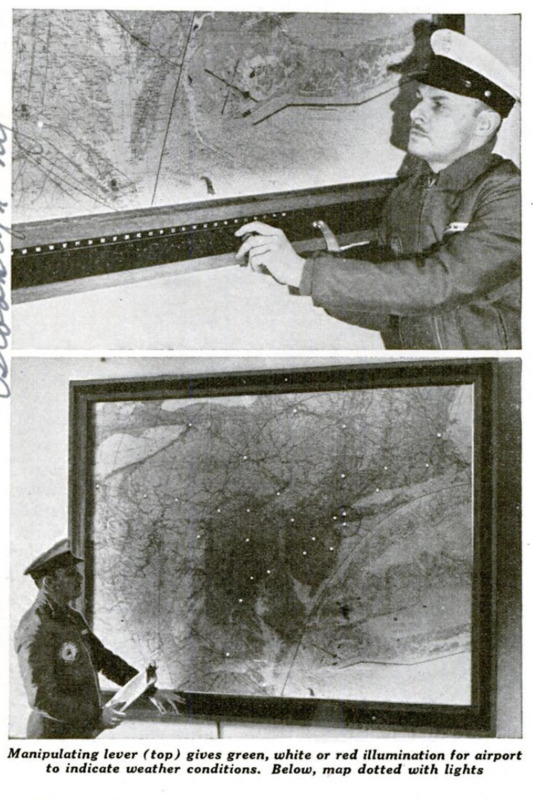
Colored Lights on Map Show Flying Weather

Item

Weather conditions at airports are read at a glance on an electric map that illuminates colored dots designating the airports. Developed for use at the Naval Reserve air Station at Floyd Bennett field, the weather billboard” covers the eastern area of the United States. To learn the flying conditions at an airport to which he is planning a flight, the navy pilot turns a switch that makes all the airports glow in colors. If the airport is spotted in green it means that weather conditions are good and he would have visual contact with the ground; white indicates a medium condition which would require flight by instruments, and red, as usual, is the sign of danger, indicating “closed in” or extremely adverse weather at the airport. All the airports are checked daily to keep the map up to the minute. Colored slides are moved into their proper positions by manipulating levers on the control board.

Title (Dublin Core)

Colored Lights on Map Show Flying Weather

Subject (Dublin Core)

Article Title and/or Image Caption (Dublin Core)

Colored Lights on Map Show Flying Weather

Language (Dublin Core)

eng

Temporal Coverage (Dublin Core)

Date Issued (Dublin Core)

1940-07

Is Part Of (Dublin Core)

pages (Bibliographic Ontology)

55

Rights (Dublin Core)

Public Domain (Google digitized)

Source (Dublin Core)

References (Dublin Core)

Archived by (Dublin Core)

Enrico Saonara
Alberto Bordignon (Supervisor)

Spatial Coverage (Dublin Core)

Item sets