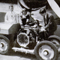
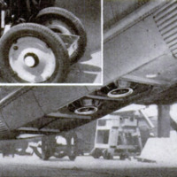
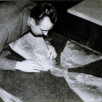
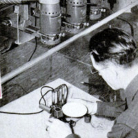
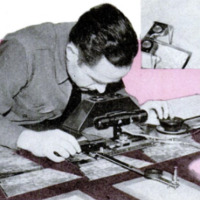
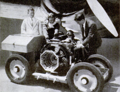
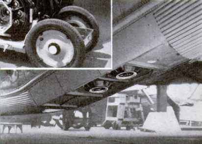
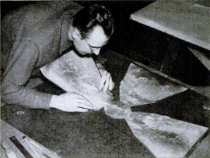
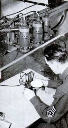
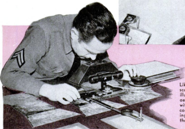
Aerial photographs used to create maps of North America
Contenuto
- Titolo
- Aerial photographs used to create maps of North America
- Article Title and/or Image Caption
- Title: Flying Cameras Map America for War
- Autore secondario
- Andrew R. Boone (writer)
- Lingua
- eng
- Copertura temporale
- World War II
- Data di rilascio
- 1939-05
- pagine
- 62-64
- Diritti
- Public domain (Google digitized)
- Sorgente
- Google Books
- Referenzia
- United States Army
- Fort Lewis
- Cascade Range
- Pacific Ocean
- Puget Sound
- Siskiyou Mountains
- 29th Engineer Brigade
- Archived by
- Davide Donà
- Marco Bortolami (editor)
- Copertura territoriale
- United States of America